Consulting Areas
Pipeline Depth of Cover Surveys
We typically respond within one business day.
What depth of cover means
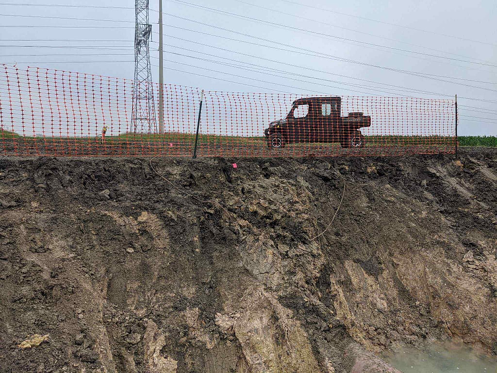
Depth of cover is the amount of soil between the top of a buried pipe and the ground surface, or the road bed or river bottom where the line crosses one. Federal rules set a minimum when the pipe is installed. After that, cover changes with every flood, every graded ditch and every season of erosion along the route, and records made at construction stop describing the line as it is today. A depth of cover survey measures the cover that is actually there now, point by point, so an operator can find shallow spots before an excavator, a plow or a washout finds them first.
Finding the line comes first, and that service is described on our page for pipeline locating. This page covers what comes next: measuring cover, comparing it with the rules and deciding what to do about the shallow spots.
Federal minimum cover
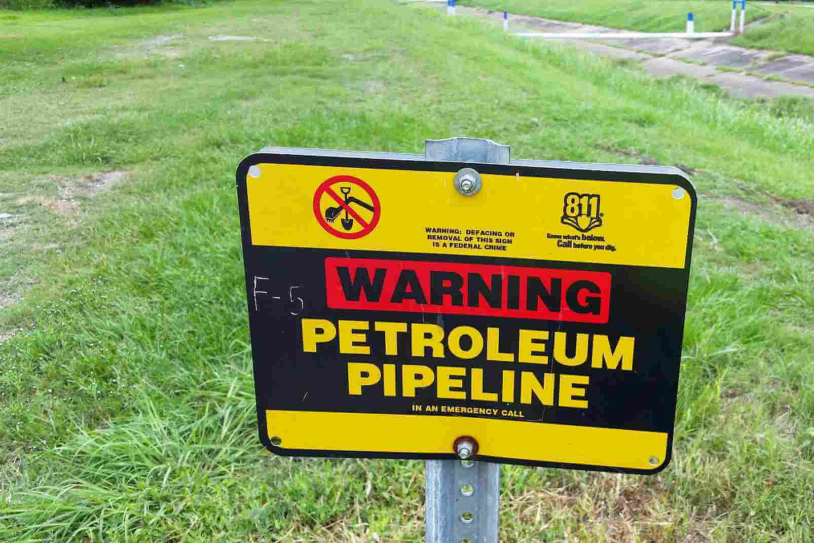
Gas transmission lines and mains: 49 CFR 192.327
| Location | Normal soil | Consolidated rock |
|---|---|---|
| Class 1 locations | 30 in (762 mm) | 18 in (457 mm) |
| Class 2, 3 and 4 locations | 36 in (914 mm) | 24 in (610 mm) |
| Drainage ditches of public roads and railroad crossings | 36 in (914 mm) | 24 in (610 mm) |
| Navigable rivers, streams and harbors (below the natural bottom) | 48 in (1,219 mm) | 24 in (610 mm) |
Gas mains need at least 24 inches of cover, unless state or municipal law allows less in a common utility trench. Where an underground structure prevents the full cover, a transmission line or main may be installed with less if it has added protection against external loads.
Hazardous liquid pipelines: 49 CFR 195.248
| Location | Normal excavation | Rock excavation |
|---|---|---|
| Industrial, commercial and residential areas | 36 in (914 mm) | 30 in (762 mm) |
| Crossings of inland bodies of water at least 100 feet wide | 48 in (1,219 mm) | 18 in (457 mm) |
| Drainage ditches at public roads and railroads | 36 in (914 mm) | 36 in (914 mm) |
| Any other area | 30 in (762 mm) | 18 in (457 mm) |
Liquid lines also have to be buried below the level of cultivation, and rock excavation means excavation that needs blasting or equivalent means. Less cover is allowed only where meeting the minimum is impracticable and equivalent added protection is provided.
Both tables are installation requirements. Once a line is in service, cover is watched through other rules: gas operators must keep a procedure for continuing surveillance of unusual operating and maintenance conditions (49 CFR 192.613), patrol transmission rights-of-way for surface conditions (192.705), and, after a flood that tops the banks, a hurricane, a landslide or an earthquake, inspect potentially affected onshore transmission facilities, starting within 72 hours of safe access (192.613(c)). Liquid operators inspect rights-of-way at least 26 times a year and each crossing under a navigable waterway at least every 5 years (195.412). And wherever buried pipe is found exposed, it has to be examined for external corrosion if it is bare or its coating has deteriorated (192.459).
What changes depth of cover
- Erosion. Rain takes soil off slopes, berms and bar ditches a little at a time, and the line gets shallower without anyone noticing.
- Washouts at creeks and ditches. On a 13-mile gathering line near Eastland, our crew found exposed pipe at a creek crossing, likely from washout.
- River scour and channel migration. PHMSA warns that flooding can scour river bottoms and move channels, undermining the soil that supports a pipe and exposing it to water forces and debris.
- Grading and construction. Road widening, ditch cleaning, parking lots and new development change the surface over a line, and a cut of a foot or two can take a line below its minimum.
- Farming. Cultivation and land leveling work the soil over lines in fields, which is why 49 CFR 195.248 requires liquid lines to be buried below the level of cultivation, and why PHMSA notes that agricultural agencies can help warn farmers about reduced cover.
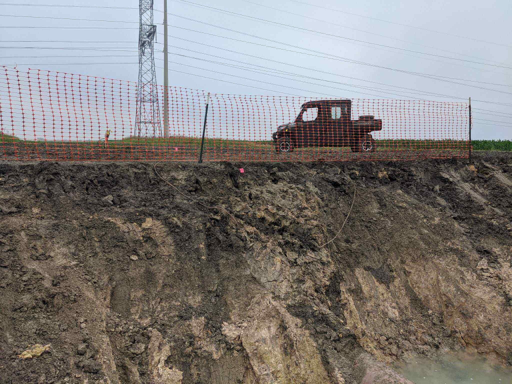
After flooding, PHMSA’s advisory bulletin on flooding, river scour and channel migration recommends finding out, as soon as the river can be reached safely, whether the flood exposed or undermined the pipe, and says this is best done by a depth of cover survey. It also recommends checking the remaining cover on recently flooded land next to rivers and making sure line markers are still in place.
How depth is measured
A signal is put on the pipe, by direct connection at a test station or riser or by induction where there is no connection point, and a receiver over the line measures the magnetic field and calculates depth. Our Radiodetection® PCMx® records depth with GPS position at each reading. It reports depth to the center of the pipe, not the top, so cover is the reading minus half the outside diameter. A pipe with a 20 inch outside diameter that reads 48 inches to its center has about 38 inches of cover, which can be the difference between meeting a 36 inch minimum and not.
A depth reading is only as good as the field it is taken in. The receiver has to be directly over and in line with the pipe, and nearby lines, casings and metal objects distort the field; the manufacturer advises that if the peak and null locations differ by more than about 6 inches, the field is distorted and the reading should be taken elsewhere. Where a reading will drive a decision, such as a planned excavation near a shallow spot, the cover is confirmed by exposing the pipe through the 811 process. At one validation dig in El Paso, the pipe was exposed by hydro-vac and sat about 4.5 feet deep. On water crossings, a walking survey covers the banks and approaches; the channel itself may need divers or instrumented detection, as PHMSA notes.
How we run a depth of cover survey
- Records review. As-built drawings, class locations, earlier surveys and the list of road, ditch and water crossings.
- Signal on the line. Direct connection where test leads or risers allow, induction where they do not.
- Walk or drive the route. The crew follows the centerline on foot or by UTV, reading depth at set intervals and at every crossing, ditch, bend and creek bank, with GPS on each reading.
- Note the surface. Each reading records whether it was taken on open ground, a road bed, a berm or a ditch bottom, since the rules measure cover from the surface that applies.
- Flag and photograph. Readings below the applicable minimum, or below the operator’s own threshold, are flagged, and exposed pipe and washouts are photographed.
Because the same right-of-way is walked for other work, depth of cover is often added to a DCVG coating survey or an annual CP survey. On a statewide Colorado job, DCVG and depth of cover surveys were run in one mobilization, so the client did not need a second campaign.
Had a flood, a washout or new construction along your line? Request a free quote. We typically respond within one business day.
What you receive
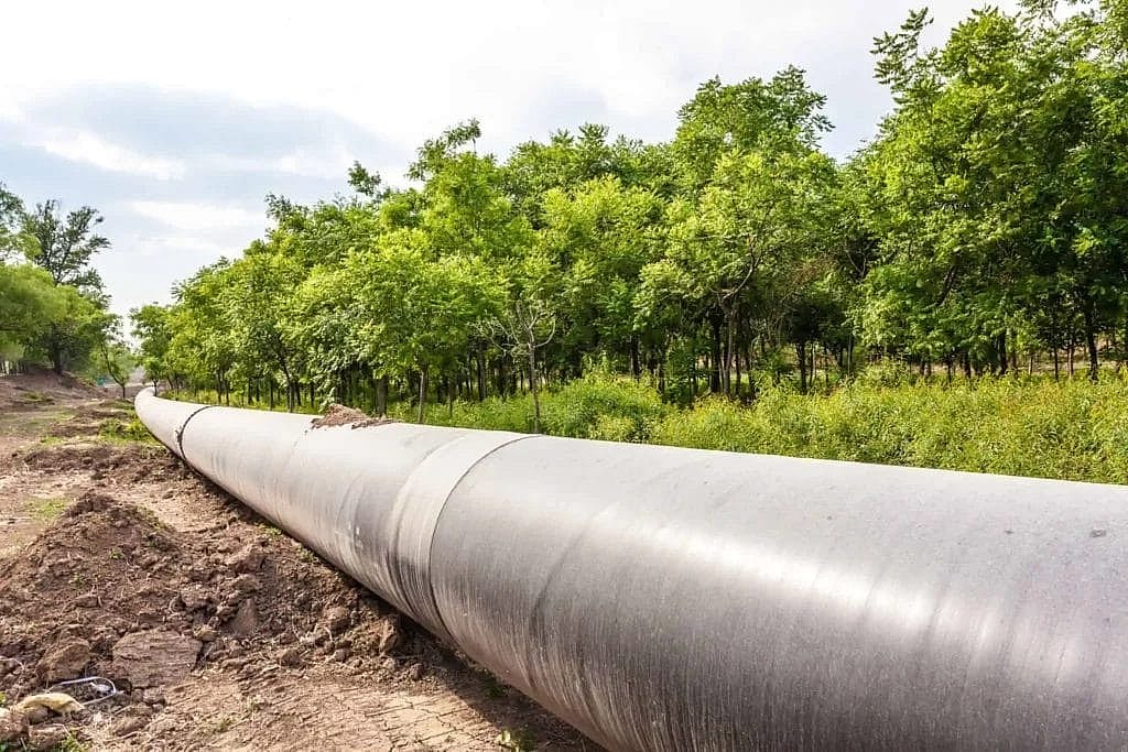
- A table of readings with station, GPS position, depth to center, calculated cover and surface type
- A comparison with the minimum cover that applies at each location
- A map file of the route and every flagged reading
- Shallow spots and exposed pipe ranked by risk, with photographs
- Recommendations, such as added protection, re-covering, lowering, replacing markers or monitoring after the next flood
Where pipe has been exposed, its coating and the steel under it should be examined; our pages on coating holiday detection and pipeline integrity assessment cover that work, and pipeline current mapping can trace a line where records are poor.
When to call us
- After a flood, a hurricane or heavy rain along the route
- Before road, ditch or grading work near the line
- When development changes the land use along a line
- When a patrol finds exposed pipe or a washout
- When you take over a line whose records you cannot trust
Frequently asked questions
How deep are gas pipelines buried?
At installation, a buried gas transmission line needs at least 30 inches of cover in normal soil in a Class 1 location and 36 inches in Class 2, 3 and 4 locations, and a main needs at least 24 inches. Cover after years in service can be more or less than that.
How is pipeline depth of cover measured?
With an electromagnetic locator over the pipe, using a signal applied to the line. The reading is usually to the center of the pipe, so half the outside diameter is subtracted to get cover. Critical readings are confirmed by exposing the pipe.
Can a pipeline lose cover over time?
Yes. Erosion, washouts, river scour, grading, construction and farming all remove cover, and flooding can expose or undermine a line in a single event.
Does a depth of cover survey replace calling 811?
No. Anyone planning to dig still has to call 811 so that every utility in the area marks its lines. A depth of cover survey is an engineering record for the operator.
Talk to an engineer
Tell us where the line runs, its diameter and what has changed along it, and we will plan the survey. Request a free quote. We typically respond within one business day.
Get your project started
We typically respond within one business day.